GIS-Monitoring of Regional Transport Network
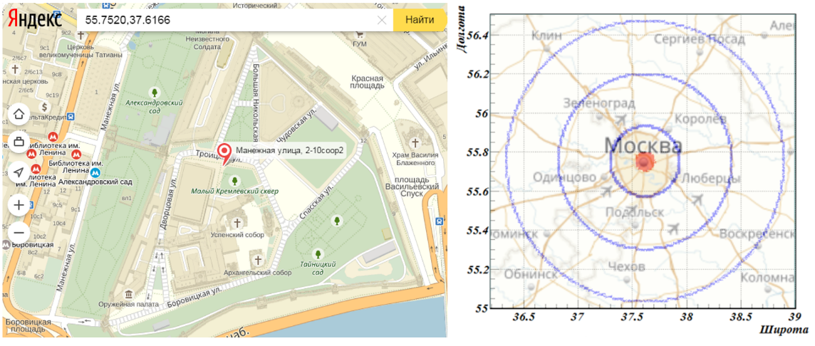
Figure 2: (left) The Moscow centre, the coordinate C0(longitude, latitude) = (55.7520, 37.6166), taken in the calculations. (right) The location of houses (blue concentric circles) and places of work (red spot in the centre) of commuters of basic set used in this study
![(left) The Moscow centre, the coordinate C0(longitude, latitude) = (55.7520, 37.6166), taken in the calculations. (right) The location of houses (blue concentric circles) and places of work (red spot in the centre) of commuters of basic set used in this study](https://www.europeanproceedings.com/files/data/article/10060/13425/CDSES2020F096.fig.002.jpg)